






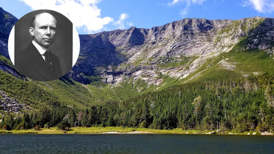
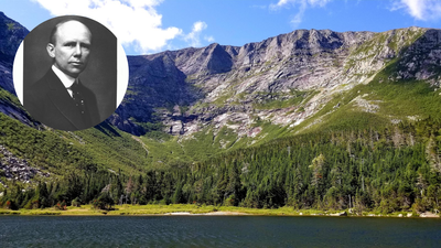
A former governor of Maine built one of North America’s largest state parks piece by piece over three decades. He paid for every purchase with his own money after efforts to use public funds failed. Percival P. Baxter made his first purchase, 5,960 acres around Mount Katahdin, in 1930. By the time he made his final land gift 32 years later, he had given 201,018 acres to the people of Maine. Later land purchases, gifts, and transfers increased the total size of Baxter State Park to 209,644 acres, according to records from the Baxter State Park Authority. The land campaign remains one of the largest efforts by one person to protect land in American history.
A political defeat turns into a private campaign
Baxter first tried to protect Mount Katahdin while serving in the Maine State Legislature during the 1920s. He introduced bills to create a state park around Maine’s highest peak, but his efforts failed. Timber interests and political opposition stood in the way. When Baxter left public office in 1925, he stopped trying to create the park through politics and decided to buy the wilderness himself. He spent the next 32 years dealing directly with private timber firms, paper companies, and individual landowners across northern Maine. “Man is born to die, his works are short-lived,” Baxter wrote in a letter to the Maine Legislature with his first deed of gift in 1931. “Buildings crumble, monuments decay, wealth vanishes, but Katahdin in all its glory forever shall remain the mountain of the people of Maine.” His method was unusual for conservation projects at the time. Instead of using eminent domain or state money, Baxter bought the land with his family fortune. His father had built that fortune through a canned goods business and real estate investments.
Binding trust deeds protect the wilderness
To make sure the land stayed wild, Baxter put strict conditions into his 28 separate deeds of trust given to the state between 1931 and 1962. The Baxter State Park Authority’s records say Baxter required most of the park to “forever be kept in the natural wild state” and remain a sanctuary for wild animals and birds. His deeds banned industrial development, paving, and some forms of commercial recreation. He also kept the park outside Maine’s regular state park system. The goal was to prevent future state governments from changing the rules Baxter had set. “State Park rules do not apply to Baxter State Park,” says the management plan published by the Baxter State Park Authority. Instead, the park is run by a three-member authority made up of the Maine attorney general, the director of the Maine Forest Service, and the commissioner of Inland Fisheries and Wildlife. Baxter also created trust funds to help pay for park operations without depending on Maine taxpayer money or regular state appropriations.
Managed forestry vs absolute wilderness
Baxter wanted the central mountain area to stay wild, but he gave different instructions for the northern part of the park. From 1955 to 1962, Baxter acquired more than 28,000 acres in the northern section and set it aside as the Scientific Forest Management Area. His deeds said this land should be managed with sustainable forestry methods. The goal was to show how timber production and forest protection could work together. The park now identifies the area as 29,537 acres. The park’s management documents say timber is selectively harvested in this area. Revenue from the harvest helps support park operations. The park’s 2025 forest management plan also includes projected timber revenue as part of the area’s financial planning.
Expanding the footprint beyond 200,000 acres
Baxter made his final land gift in 1962, at age 86, bringing his direct gifts to 201,018 acres. He died seven years later, in 1969. After his death, the park continued to grow through land trades, purchases, and transfers. Later additions, including land near Trout Mountain and other boundary changes, brought the park’s total area to 209,644 acres. Today, the park contains more than 40 mountain peaks and ridges, including Mount Katahdin’s Baxter Peak. The peak rises to about 5,268 feet and marks the northern end of the roughly 2,200-mile Appalachian Trail. Park rules limit vehicle traffic and campsite sizes. Campgrounds also do not have electricity or running water. These limits help preserve the wilderness setting Baxter established through his original deeds.